06°–14°N · 03°–10°E · eight Nigerian pilot states
Every village. Every field. Read from orbit.
EconomicBridge turns NASA and Copernicus satellites into intelligence a state can act on — which farmland stopped growing, which villages are dark at night, where extreme rain fell. Every figure carries its source and its measured accuracy.
84%
of the 76,995 named villages in the eight pilot states show no light at night — about 25.6 million people, 5 million of them under five.
NASA VIIRS Black Marble · Meta & CIESIN HRSL · GRID3 · 2026 round

Light seen from space
Dark at night
Each point is a real, named village — Kebbi, Zamfara, Kaduna, Niger, Plateau, Nasarawa, Benue and the FCT.
Measured, not asserted.
Figures as of 25 September 202618.3M haof farmland measured greening in the 2026 rainsSentinel-2 · every pixel of 142 LGAs
64%measured precision of land-change detections, each at its own coordinatesRandom sample · 95% interval 45–80%
447LGAs watched every day for storms and extreme rainNASA GPM IMERG · half-hourly
11farmer cooperative leaders receive rainfall advisories by SMS — in Hausa and EnglishLive in Kebbi · sent automatically since August 2026
For state governments, ministries and partners
One operating picture for a state's farmland, villages and weather.
Satellite readings arrive every day. EconomicBridge turns them into a short list of places that need a person — each with the nearest village, directions, and the evidence behind it.
Kebbi State

Unguwar Hakimi · Shanga LGANO LIGHT
About 9,355 people, 1,870 under five — no light seen at night
11.2165°N 4.5805°E · DirectionsRainfall advisory sentSMS
11 farmer cooperative leaders · 22 September 2026
NASA GPM IMERG · the LGA's own rainfall historyUNICEF · water & sanitationAID
Reported activity in Arewa Dandi LGA, 2023–2027
IATI · published by the organisationLand that stopped growingFARMLAND
Green in the 2024 and 2025 rains, bare in 2026 — at its own coordinates
Sentinel-2 · every pixel · 64% measured precisionSeven modules, one alert layer
LIVE: open now · PRO: per subscription and region · BUILDING: in developmentFarmland ProtectionLIVE
Every farmland pixel of 142 LGAs across three rainy seasons — land that stopped growing, pinned with the nearest village.
Sentinel-2 · Esri land coverEconomic VisibilityLIVE
Night light and population at 76,995 named villages — who lives in the dark, and a list to reach them.
NASA VIIRS · HRSL · GRID3ShockGuardLIVE
Storms and extreme rainfall rebuilt from half-hourly NASA rainfall, graded against each LGA's own history.
NASA GPM IMERGCropGuardPRO
Crop health for every LGA from Sentinel-2, and a leaf-photo disease check for field officers (tested on lab images).
Sentinel-2Aid CoordinationPRO
Which organisations report aid activity where — the gaps, and same-sector overlap, by LGA.
IATIMobility CompassLIVE
Where towns and markets are growing or fading — night light every year since 2012 for every LGA and village, with what food costs.
NASA Black Marble · FEWS NETSkillsBridgeLIVE
24,127 schools, each checked for light at night within 2 km — the schools to power and connect first, with directions.
GRID3 · NASA VIIRSAlertsLIVE
Rainfall advisories by SMS to farmer leaders, and email digests to the agencies that subscribe.
SMS · emailWhat we measured
62
land changes on farmland, each at its own coordinates
64% precision on a random sample · 95% interval 45–80%
76,995
named villages checked for light at night — 84% dark
NASA VIIRS Black Marble · GRID3 · Meta & CIESIN HRSL
5.0M
children under five live in villages with no light at night
Meta & CIESIN HRSL under-five layer · NASA VIIRS · 2026 round
447
LGAs watched daily for storms and extreme rain
NASA GPM IMERG · half-hourly rainfall
How we report
Storms and extreme rainWe report rainfall measured by satellite, graded against each LGA's own history. Flood warnings wait until a detector passes a test on real floods.
Where to look firstNight light points a state to the villages to reach first. We present it as a guide to action, not a measure of household income.
Places, never peopleWe report villages, wards and fields. No household or person is identified from space.
Gaps shown openlyWhere cloud hid a season — Benue's 2025 rains — the map shows the gap rather than filling it.
It reaches the people who act.
Ministries & agencies
A dashboard for each state, and alert digests by email
Each organisation sees the states it is permitted to see, and receives email digests for the modules it has subscribed to.
Farmer cooperative leaders
Shawarar EconomicBridge: an yi ruwan sama mai yawa a [LGA], [State]. Ku duba gonakin kwarai, ku share magudanan ruwa. Aika STOP don dainawa.
EconomicBridge advisory: heavy rain recorded in [LGA], [State]. Check low-lying fields and clear drainage channels. Reply STOP to opt out.
The messages in use in Kebbi, in Hausa and English — sent automatically when an LGA's rain passes its own history.
Field teams
The nearest village and directions to the exact point
Farmland alerts name the nearest real village (GRID3) and open navigation on the officer's phone. Village lists download as a spreadsheet for enumeration.
Bizra Farms Integrated
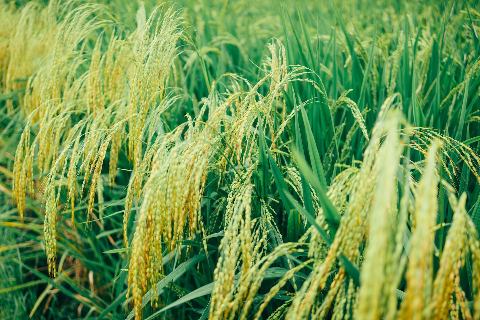
We farm rice in Kebbi and beyond. The satellites watch the same fields we plant.
5+ years in agribusiness100+ clients500+ reviews
About Bizra Farms Integrated →
Request a briefing
See your state from orbit.
Tell us the state and the decisions you need to make. We'll bring that state's farmland, villages and rainfall — measured, with their limits — to the briefing.
Bizra Farms Integrated Nigeria Limited · RC 1929412
No. 32A ITM, Sabara Road, Gesse Phase 1, Birnin Kebbi, Kebbi State
bizra@economicbridge.org
+234 703 791 9465